YORNUP TREE


Grid Reference -34.083640, 116.184932 (GDA)
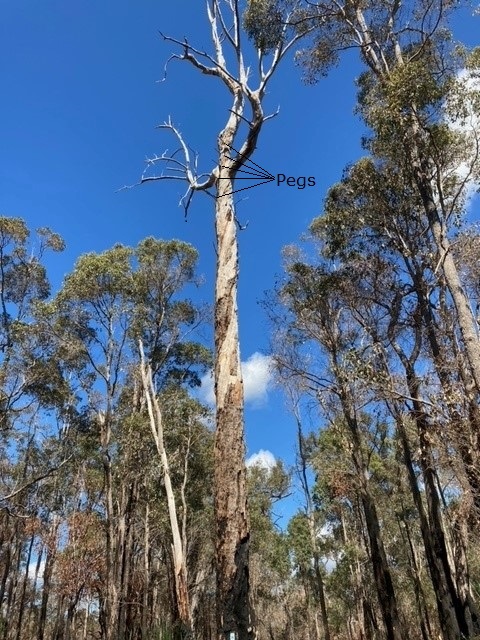
Department DEC
Work Centre Yornup
District Manjimup
Grading ?
Elevation (ASL) 274m
Height ?m
Construction Tree - Marri (Corymbia calophylla)
Cabin size No Cabin
Public access to site Yes
In use since 19?? - 19??
Photo, taken and supplied in Sep 2021, by Clinton Bailey.

Please click on thumbnails for enlargements

We were made aware of this pegged tree in Sep 2021 by Clinton Bailey who also took and supplied the above photos in Sep 2021. Looking at the pictures, we knew that it was never fitted with a cabin so the initial thoughts were, that it was either a tree, pegged and climbed to look for an alernative/suitable location or it was a pegged tree to be used to get a quick bearing from that location when a local fire report came in. The location of the tree is within the old Yornup settlement which had it's own Forestry Depot. After some research at the Manjimup office by Clinton, it was established that the tree was indeed used to get a quick bearing from that location when a local fire report came in. We are still trying to find out what is contained in the Historical Site Donnelly 124 records (3rd photo above).
If you can add any more information, please do not hesitate to contact us.


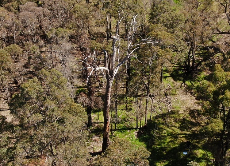
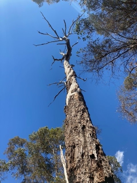
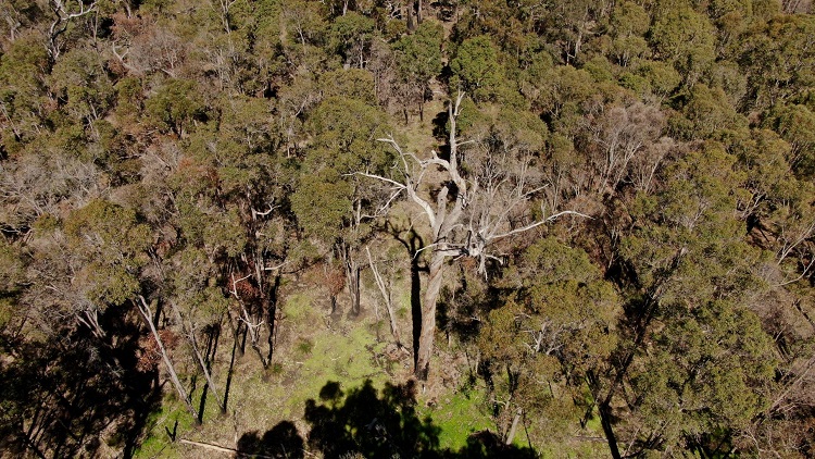
For some drone footage of the tree on YouTube, please click here.
Footage was taken and supplied by Jack Bradshaw in Sep 2021.
The 2 photos on the left are stills from Jack's drone. Thanks Jack.
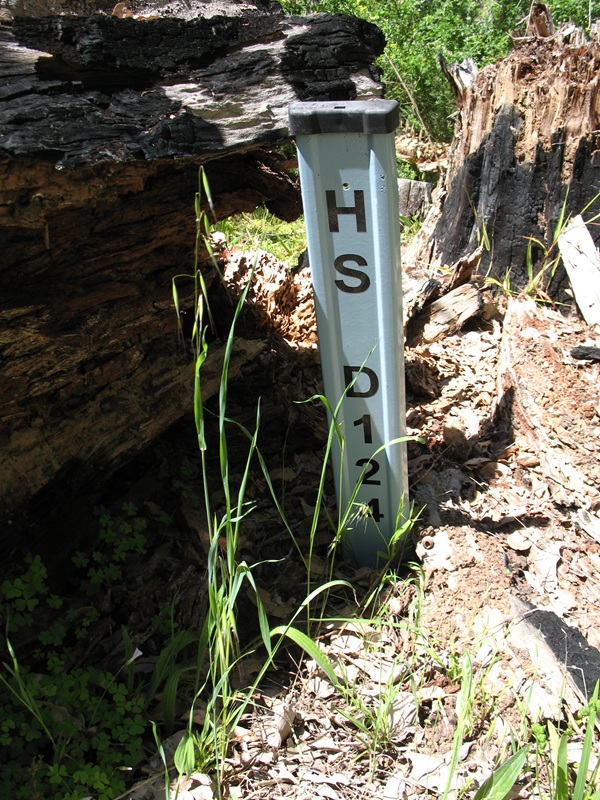
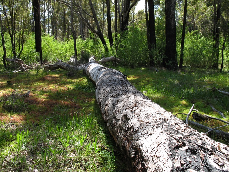
Back to Warren Region
Back to Western Australia Towers
Back to Home Page