Current: -31.65879278700, 115.77595801600 (GDA) (GDA)
Current: 110m
Current: 15m
Current: Steel
Current: 1988 -
|
| Grid Reference | Original: -31.650292, 115.786036 (GDA) Current: -31.65879278700, 115.77595801600 (GDA) (GDA) |
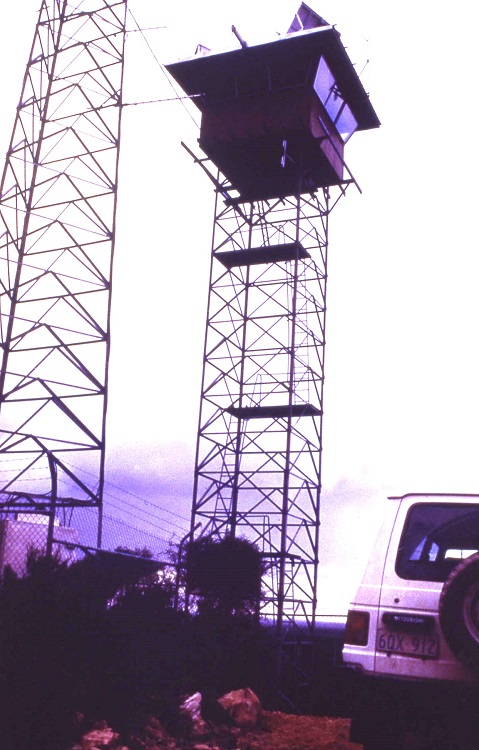
Department | DEC | Work Centre | ? | District | Swan Coastal | Grading | ? | Elevation (ASL) | Original: 46m Current: 110m |
Height | Original: 9m Current: 15m |
Construction | Original: Timber Current: Steel |
Cabin size | ? | Public access to site | Yes | In use since | Original: 1955 - 1970 Current: 1988 - |
 |
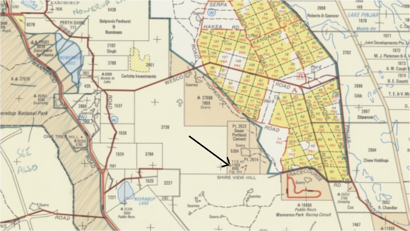 |
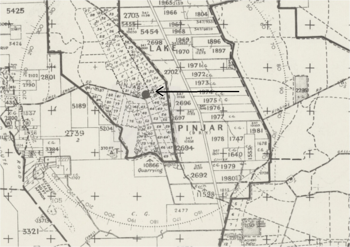
Screenshots of old maps supplied by MLC in late 2019. 1st one is the original Pinjar site, 2nd one is the current Pinjar site MLC also reported: Nothing remains of the original wooden tower associated with the Pinjar headquarters. For reasons yet to be understood, this (active) tower appears to have taken on the name "Pinjar" from another tower site nearby. |