Second: ?m
Second: ?m x ?m
Second: 19?? - 19??
|
| Lat / Long (GDA) | -32.126195, 116.299884 | Department | DEC | Work Centre | ? | District | Perth Hills | Grading | ? | Elevation (ASL) | 543m | Height | Original: 9m Second: ?m |
Construction | Timber | Cabin size | Original: ?m x ?m Second: ?m x ?m |
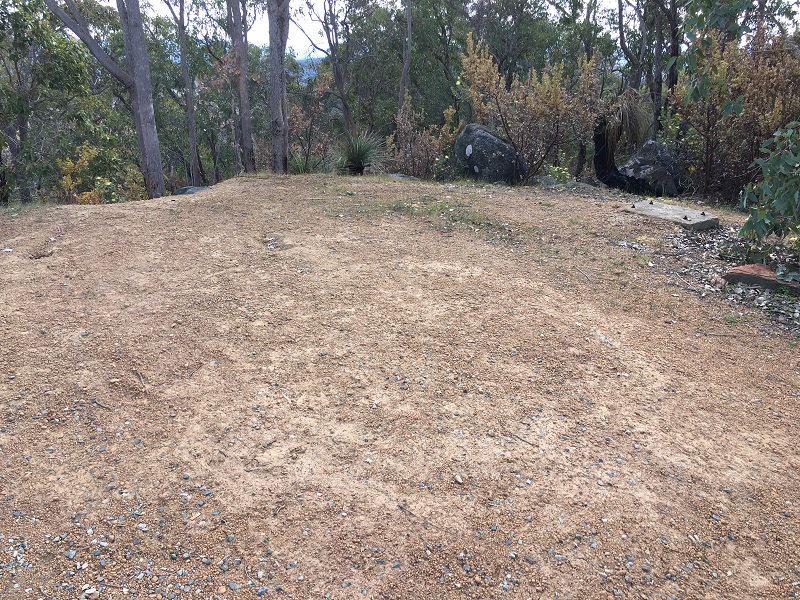
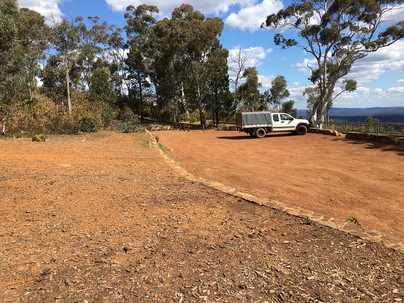
Public access to site | Yes | In use since | Original: 1922 - 19?? Second: 19?? - 19?? |
 |
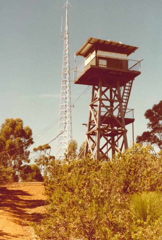 |
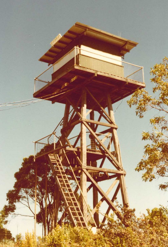
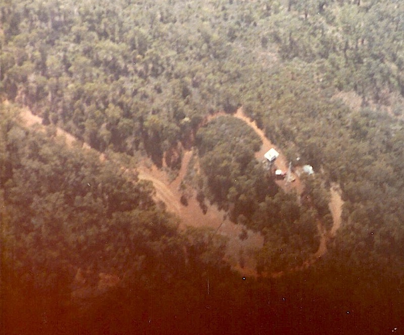
Photos (19??) supplied by DEC - WA |
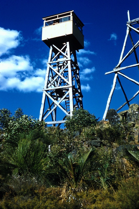 |
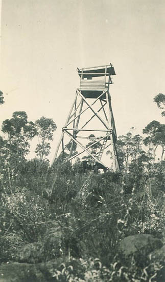
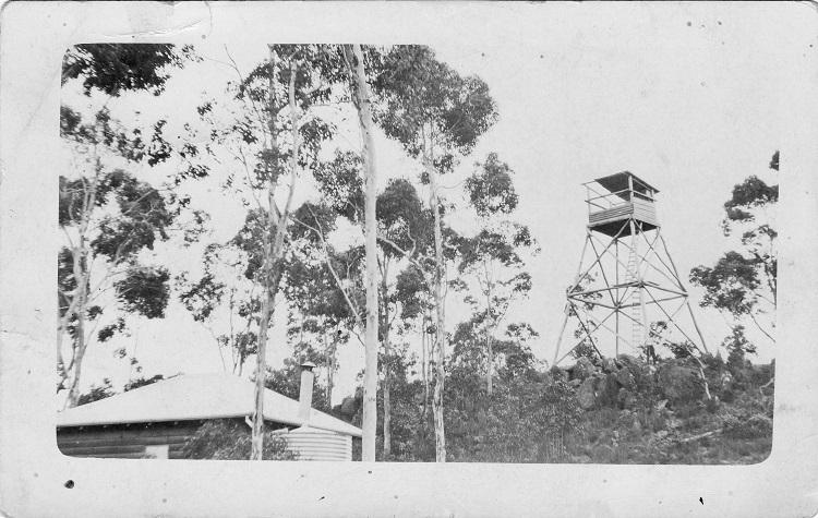
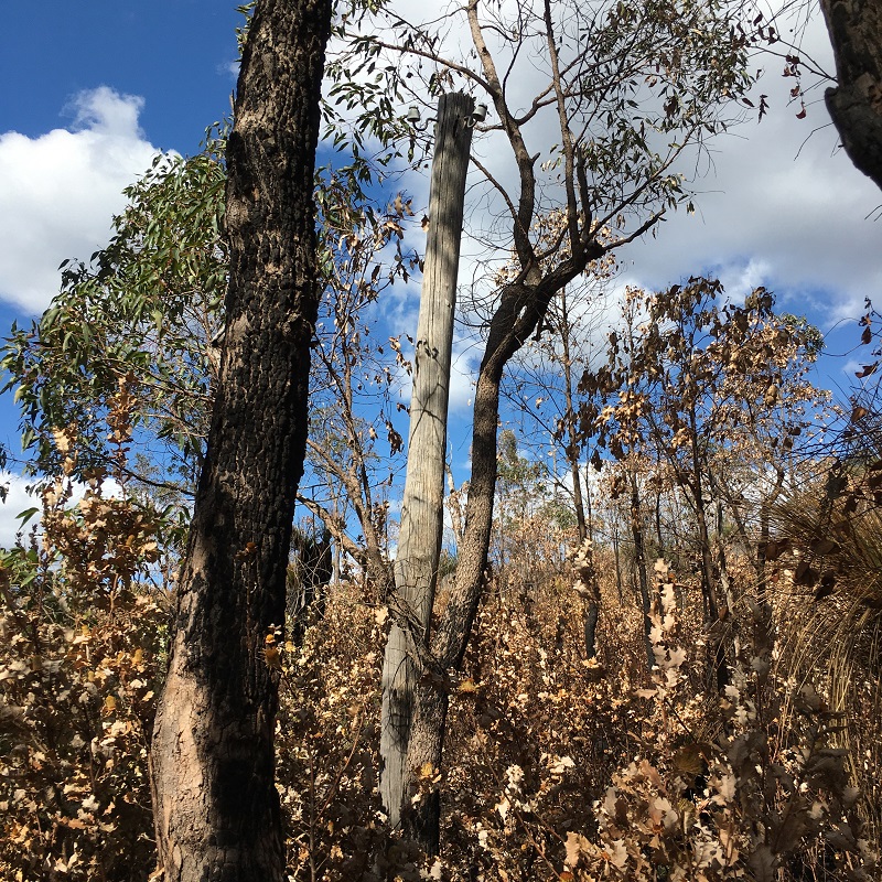
Photo (1958) supplied by Kevin Coate. Note framework of the original tower |
 |
Screenshot of old map supplied by MLC in late 2019. |
 |
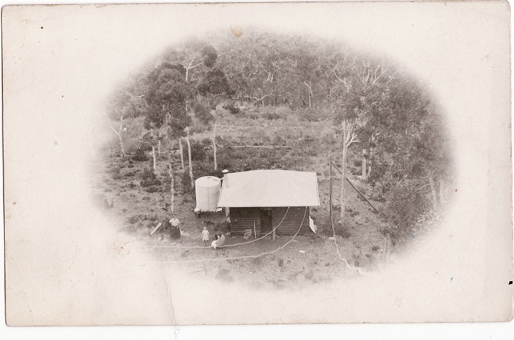 |
Photos of the tower and towerman's hut were supplied in May 2020 by the Mundaring and Hills Historical Society Inc. via Trish Beaman. We're still trying to establish what year they were taken. |
 |
 |
 |
 |