|
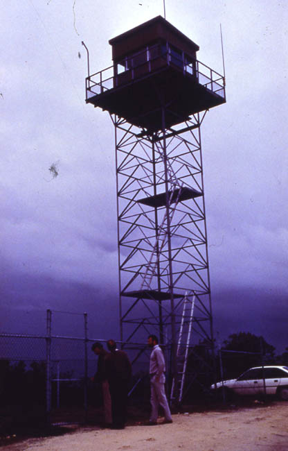
| Grid Reference | -31.750505, 115.944224 | Department | DEC | Work Centre | ? | District | Swan Coastal | Grading | ? | Elevation (ASL) | 38m | Height | 10m | Construction | Steel | Cabin size | ? | Public access to site | ? | In use since | 1960 - |
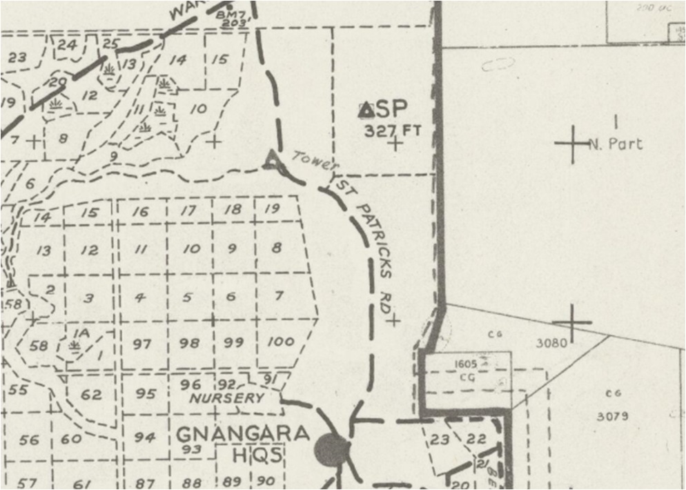 |
Screenshot of old map supplied by MLC in late 2019. MLC also reported: Co-ordinates approx - No remains of tower, area north of Gnangara Road now heavily modified/developed. North of Gnangara H/Q. |
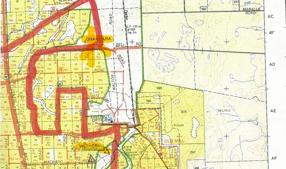 |
Screenshot of old map supplied by Clayton Sanders in early 2020. Note the close proximity (3.6km) of the Gnangara and the Wetherell towers. |