|
| Grid Reference | -34.211720, 115.781395 (GDA) | Department | DEC | Work Centre | ? | District | Manjimup | Grading | ? | Elevation (ASL) | 226m | Height | 33.5m | Construction | Timber | Cabin size | ? | Public access to site | Yes | In use since | 1948 - 19?? |
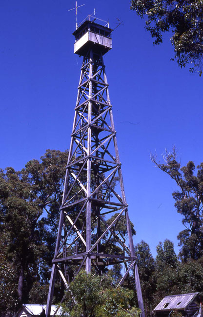 |
1990 photo supplied by DEC | 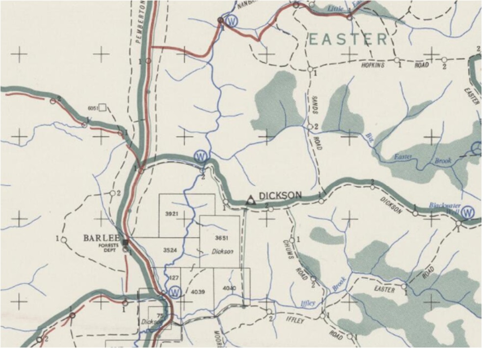 |
Screenshot of old map supplied by MLC in late 2019. MLC also reported: Originally named 'Biddelia' (name of the Dickson farm whose land was adjacent). Changed instead to 'Dickson' to avoid confusion. |
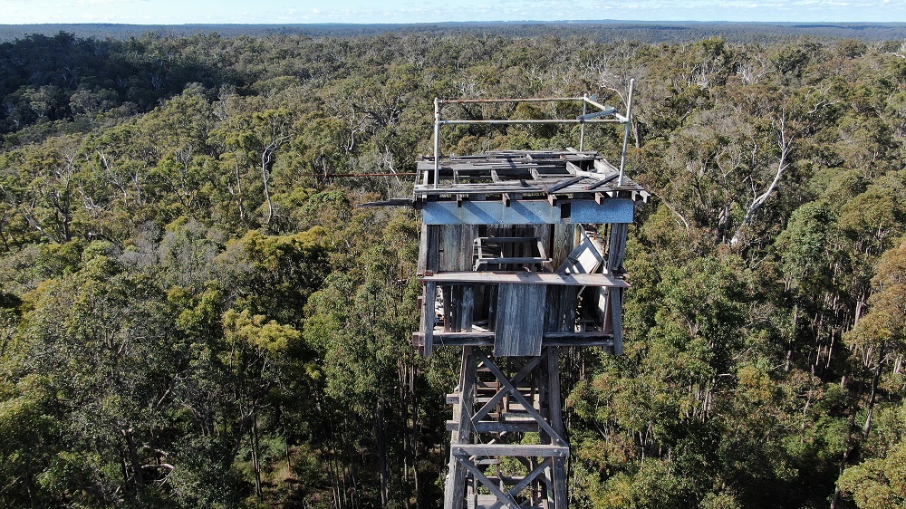 |
Photo (2019) taken & supplied by Jack Bradshaw |
 |
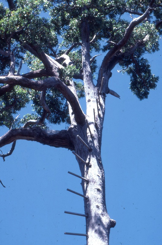 |
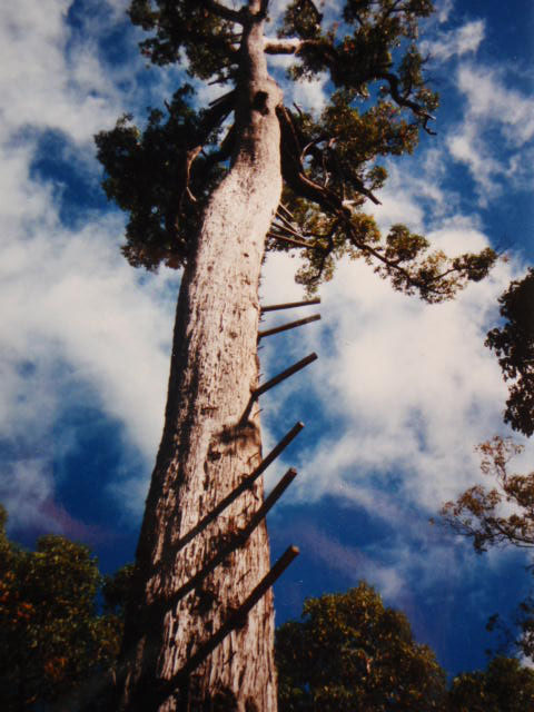
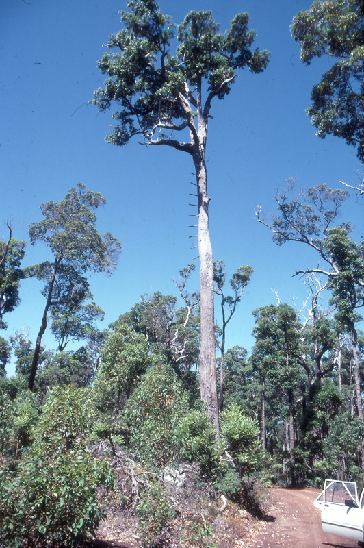
Photos of the pegged 'surveillance' tree were found in the DBCA Library by MLC in July 2020. The slides were part of a collection, taken by Rick Sneeuwjagt in 1990. |
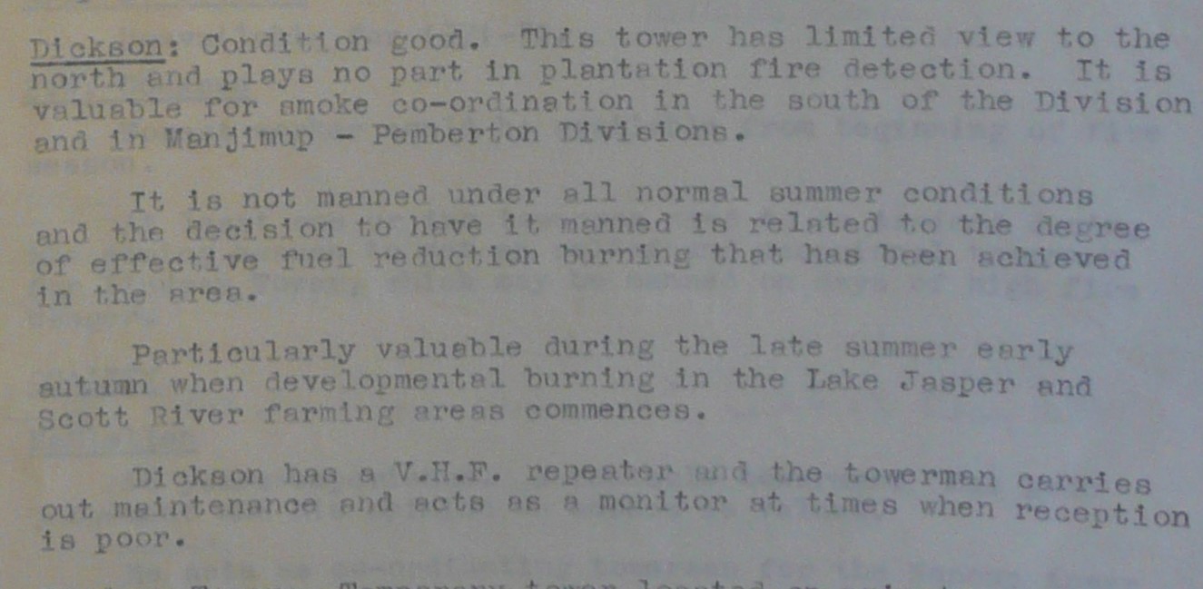 |
Information found in Departmental papers from Sep. 1971 and supplied by MLC |