BIG TREE


Grid Reference -34.335299, 116.042310 (GDA)
Department DEC
Work Centre ?
District Pemberton
Grading ?
Elevation (ASL) 290m
Height 28m
Construction Tree
Cabin size ?
Public access to site Yes
In use since 1937 -
Photo supplied by DEC - WA

In his book 'Lookouts of the Karri Country', Dave Evans writes: No change was made to the general concepts and construction techniques which had been developed on Alco Tree other than that the pegs did not spiral the trunk, but used a vertical climb..This innovation was easier to install, but made subsequent climbing more difficult and dangerous, and was not used again.

Please click on thumbnails for enlargements

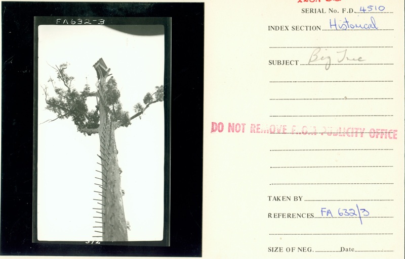
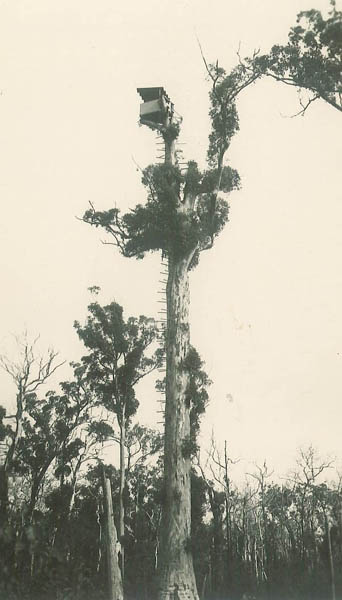
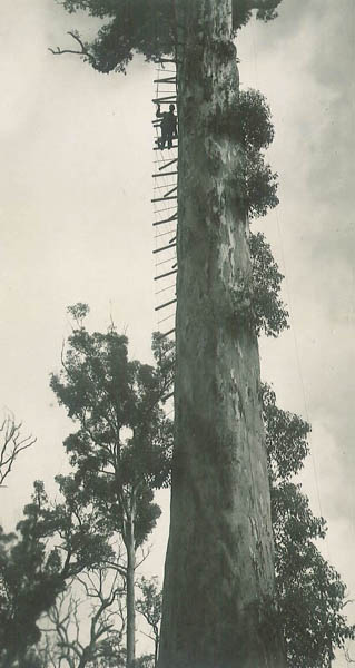
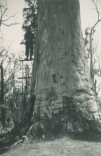
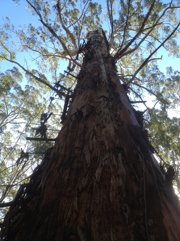
Big Tree photos supplied by DEC - WA 
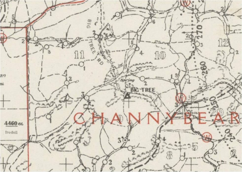
Screenshot of old map supplied by MLC in late 2019. MLC also reported:
"Redundant when other lookouts constructed".

The Crown section was burned in 1973.

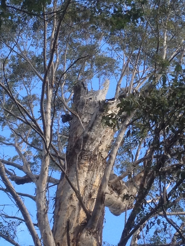
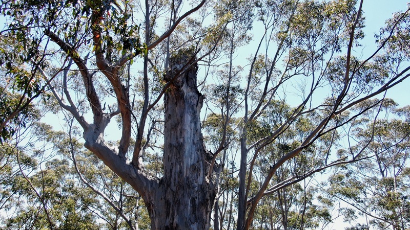
2012 photos taken and supplied by Paul Jones

Big Tree photos taken and supplied by Jack Bradshaw in 2021. Jack also reported: "Big tree still exists at -34.335299 116.042310. It is shown accurately on the current PWS map. There has been recent cutting nearby but a small patch of forest has been left around it. It is within the circular bit of retained forest on the 2019 google images. It has long since broken off at the top but still OK."

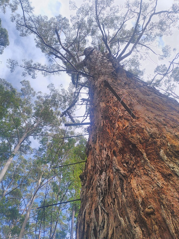
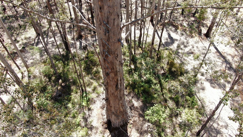
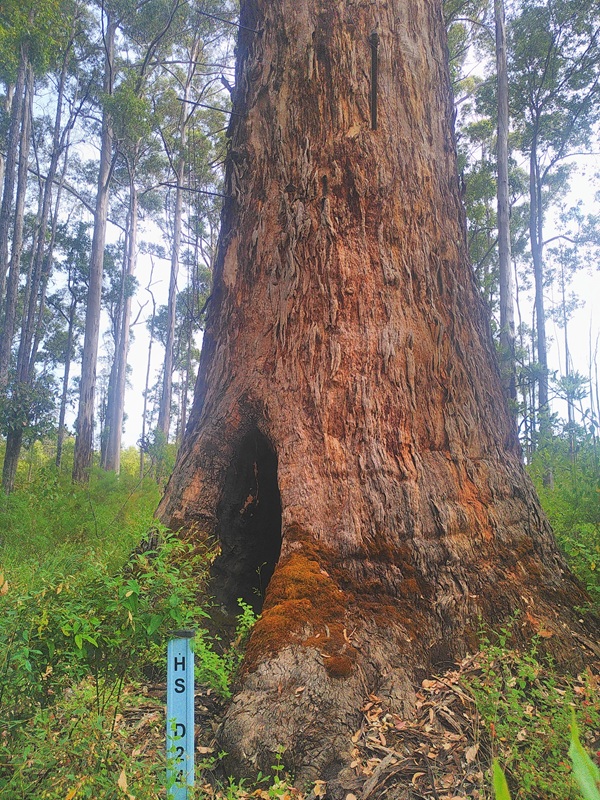
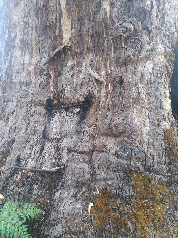
Photos taken and supplied by Bushy in January 2026. Bushy also reported: "Still present, has a historic site marker"

Back to Warren Region
Back to Western Australia Towers
Back to Home Page