|
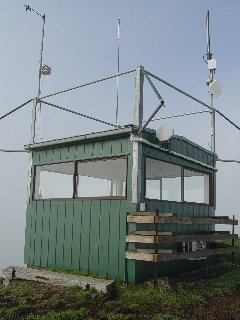
| Lat / Long GDA | -38.313780, 143.287686 | Department | CFA | Work Depot | Otways | Region | South West | Grading | Secondary | Elevation (ASL) | 280m | Height | On Ground | Construction | Timber | Cabin size | 2.5m x 2.5m | Public access to site | No | In use since | 1960 - |
CFA Region | 6 - South Western |
 |
 |
 |
 |
 |
 |
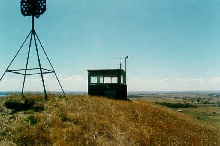
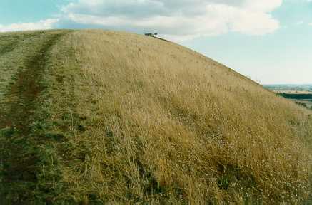
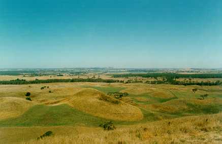
| Up the Hill, 2001 | Mt. Porndon crater 2001 |
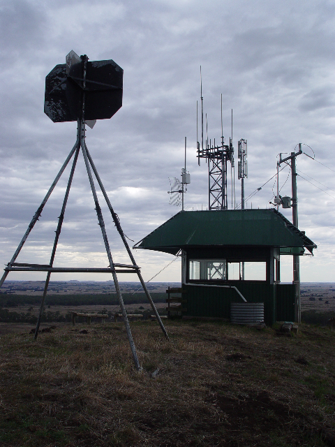
2006 | new cladding in 2008 |
2009, supplied by Richard Webb |
2009, supplied by Richard Webb |
 |
 |
 |
 |
| 2010, the tower was part of the camera trail. |
2014 | 2022 Looking North | 2022 Looking South |