|
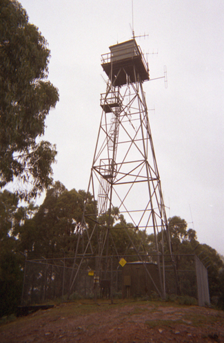
| Lat / Long GDA | CU 860469 | Department | FCV...etc...DEECA | Work Depot | Marysville | Region | North East | Grading | Primary | Elevation (ASL) | 758m | Height | 18m | Construction | Steel | Cabin size | 2.5m x 2.5m | Public access to site | Yes | In use since | 1962 |
CFA Region | 12 - North Eastern |
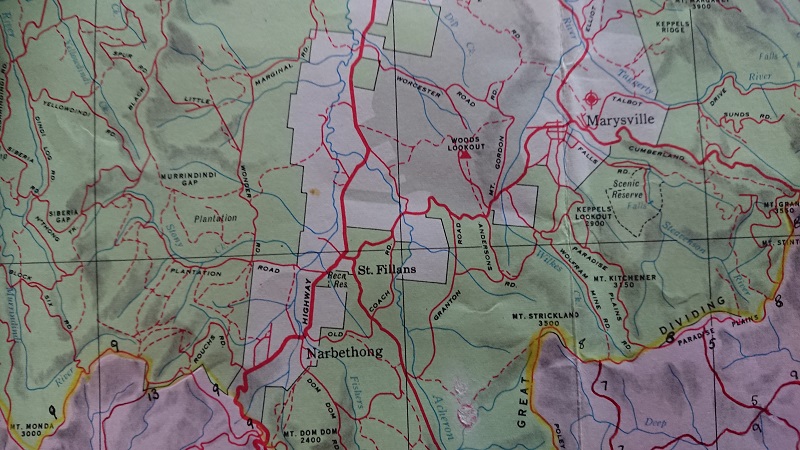 |
On a 1965 map of the Central Highlands, produced by the Forest Commission of Victoria, the tower was named as Woods Lookout. |
 |
 |
|
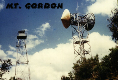
| slide supplied by Robin Fisher (ex MMBW) |
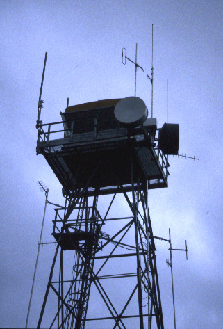
New cabin installed in 1999/2000 (Paul Jones) |
 |
 |
 |
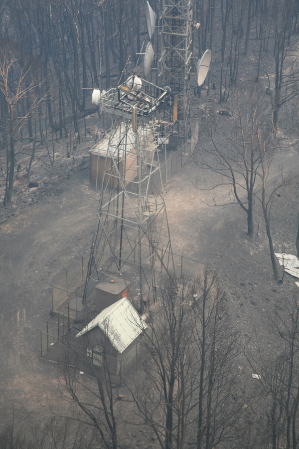
| Aerial shot 10th Feb. 09 Supplied by Paul Rofe DSE |
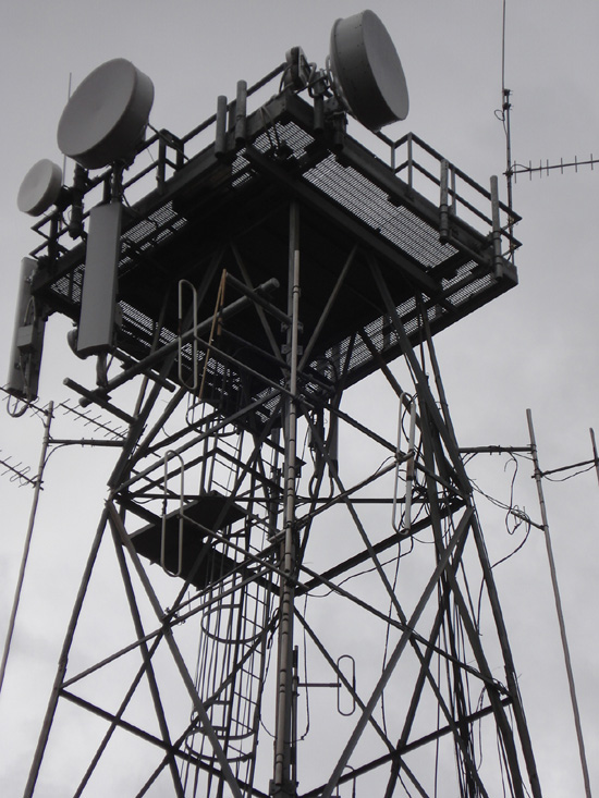
Tower on 16th March 09 with some temporary comms equipment Supplied by Andre Belterman |
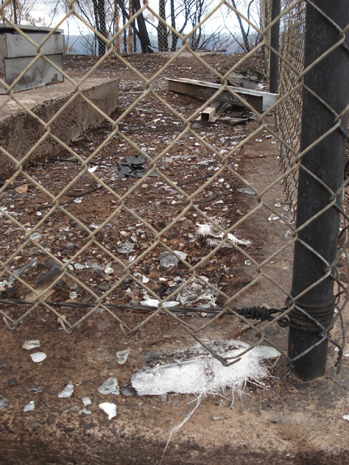
Molten cabin, March 09 Supplied by Andre Belterman |
 |
 |
 |
 |
| 21st Jan. 2010 No cabin yet Supplied by Andre Belterman |
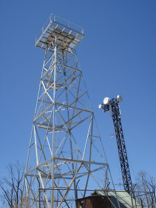
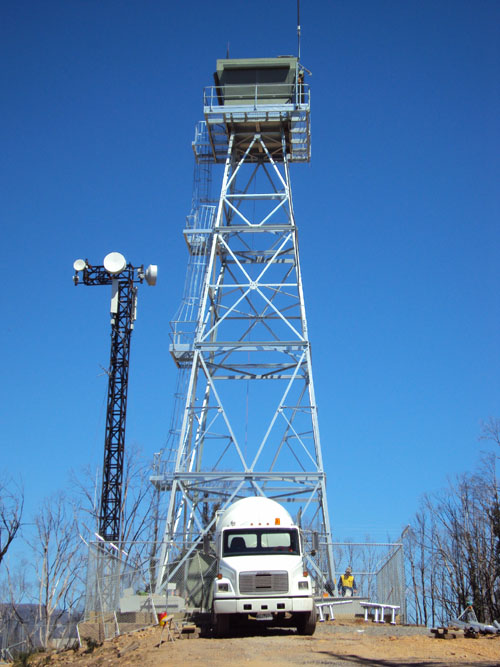
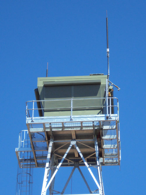
25th Feb. 2010 With new cabin Supplied by Andre Belterman |
25th Feb. 2010 Cabin by Briagolong Engineering Supplied by Andre Belterman |
25th Feb. 2010 1st smoke sighting (slash burn) from new tower! Supplied by Andre Belterman |