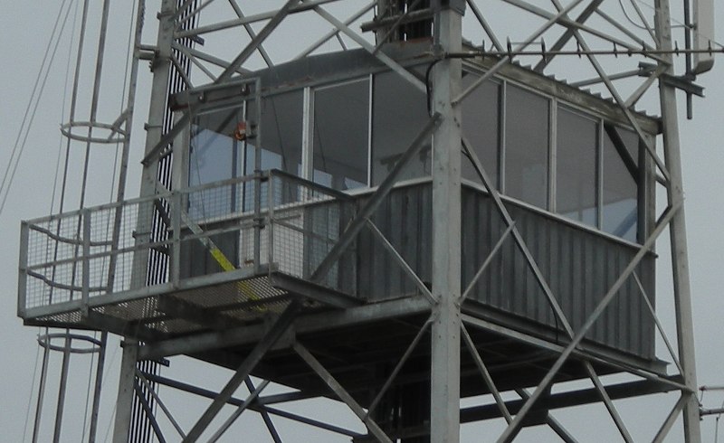
13.8m (cabin)
1968 - (current)
|
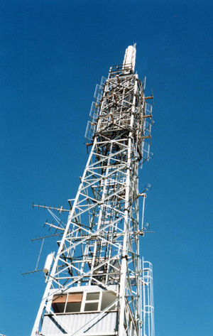
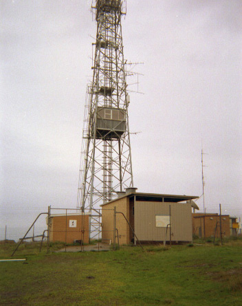
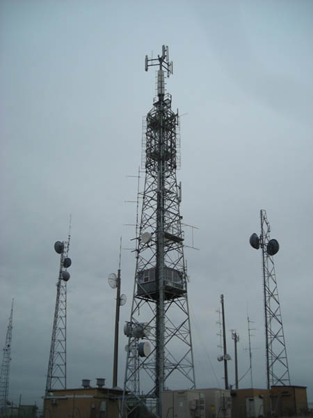
| Lat / Long GDA | -38.216840, 141.703378 | Department | FCV...etc...DEECA | Work Depot | Heywood | Region | Far West | Grading | Primary | Elevation (ASL) | 189m | Height | 50m (tower) 13.8m (cabin) |
Construction | Steel | Cabin size | 3.45m x 3.45m | Public access to site | No | In use since | 193? - 196? (wooden) 1968 - (current) |
CFA Region | 4 - South West |
 |
 |
 |
 |
 |
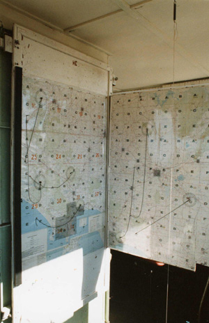
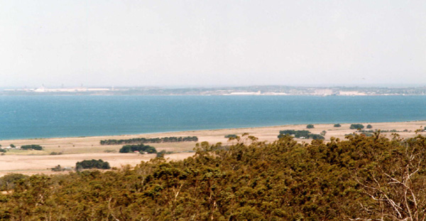
| Map board | View towards Portland | 2001, supplied by Paul Jones | 2009, supplied by Richard Webb | 2009, supplied by Richard Webb |
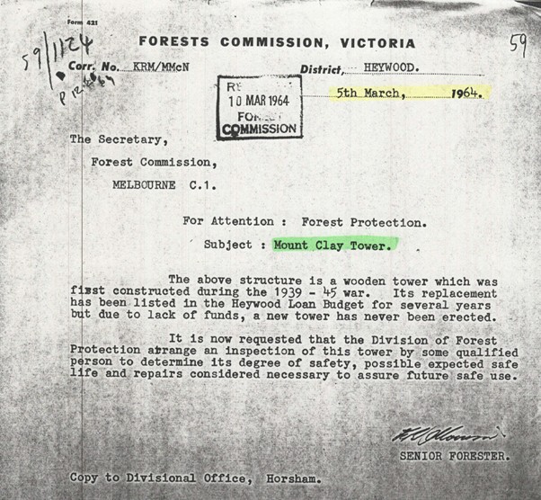 |
A 1964 FCV letter re the condition of the wooden tower |
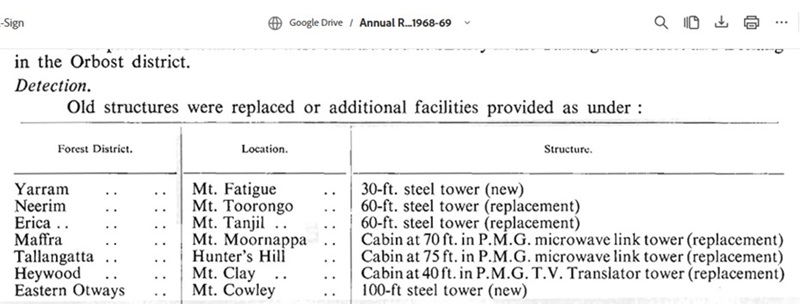 |
A screenshot from the FCV 1968-69 Annual Report with the new tower mentioned |