HOLLOWBACK
| Lat / Long GDA |
-37.381030, 145.098960 |
Department |
FCV...etc...DEECA |
Work Depot |
? |
Region |
North East |
Grading |
? |
Elevation (ASL) |
553m |
Height |
21m |
Construction |
Timber |
Cabin size |
? |
Public access to site |
? |
In use since |
1945 - 19??
|
CFA Region |
12 - North Eastern |
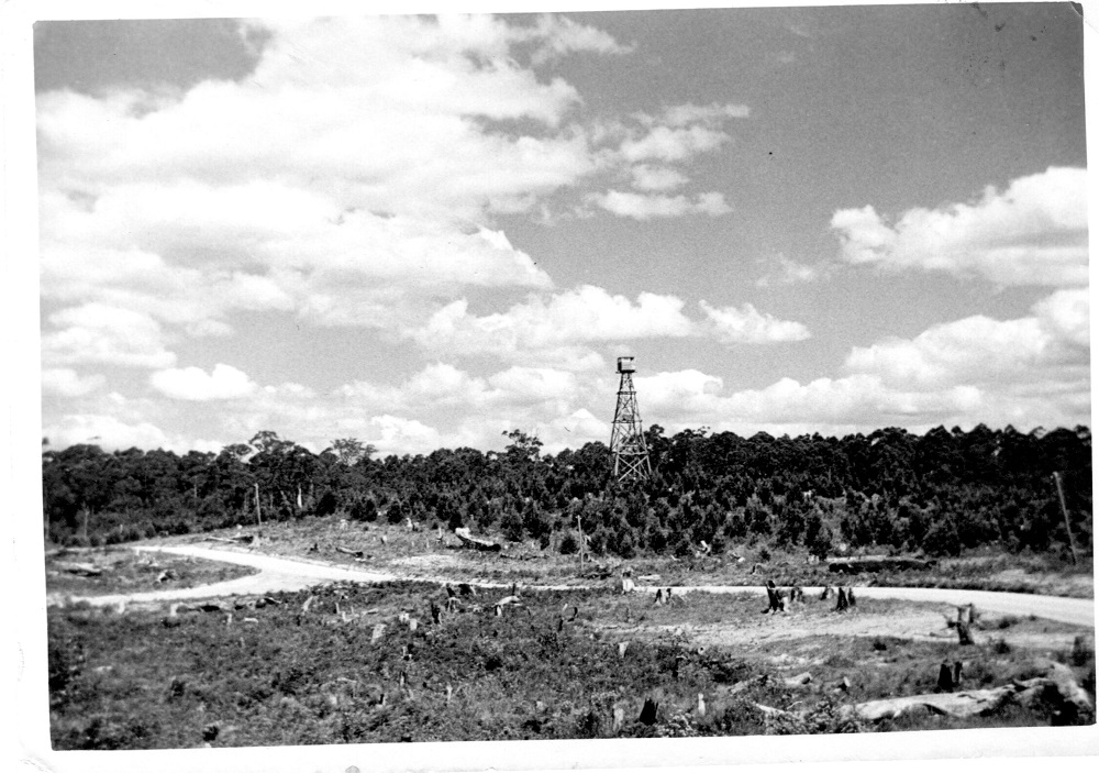
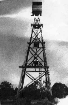
Photo (1940s) supplied by Trevor Vienet
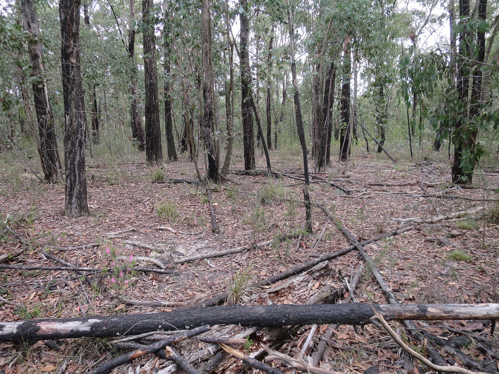
This tower no longer exists and was SW of the Hollowback Reservoir on the western side of Mt. Disappointment State Forest.
In the Chief Forester's (Broadford) Annual Report of July 16, 1945 it states:
7. Number of Fire Towers and Lookout Stationr Constructed: 1 trestle 70 feet Fire Tower at Hollow-back, Mount Disappointment.
Please click on thumbnail for enlargements
The above photos were also supplied by Trevor Vienet. The 1st one was taken during the 2nd WW, the 2nd is a screenshot from a 1958 survey topographic map- Kinglake 1:50000 and the 3rd one was taken on the site in April 2020. Phil Searle (Mt Hickey FLO) remembers seeing the tower in 1962.
Back to North East
Back to Victorian Towers
Back to Home Page