196? - 1992 (10m steel)
1992 - current
|
| Lat / Long GDA | -38.695567, 143.355436 | Department | FCV...etc...DEECA | Work Depot | Lavers Hill | Region | South West | Grading | Primary | Elevation (ASL) | 420m | Height | 30m | Construction | Steel | Cabin size | 2.4m x 2.4m | Public access to site | Yes | In use since | 19?? - 196? (original) 196? - 1992 (10m steel) 1992 - current |
CFA Region | 6 - South Western |
 |
 |
 |
 |
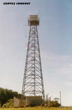
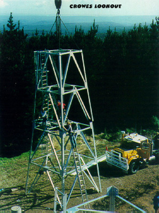
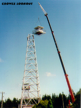
| part 1 1992 | part 2 1992 | part 3 1992 | 1998, supplied by David Turner |
 |
 |
 |
 |
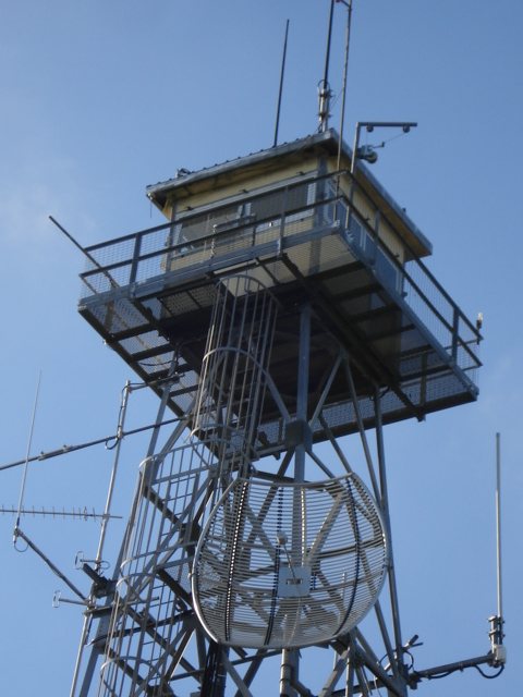
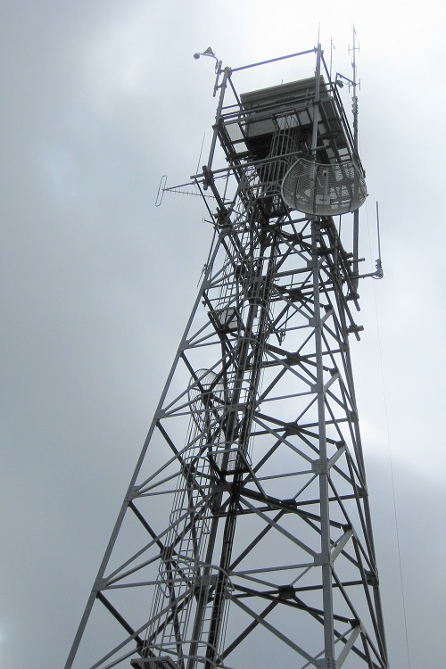
| 2008, supplied by Andre Belterman |
2008 Cabin, supplied by Andre Belterman |
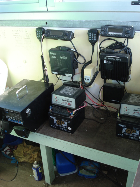
2008 Communication panel, supplied by Andre Belterman |
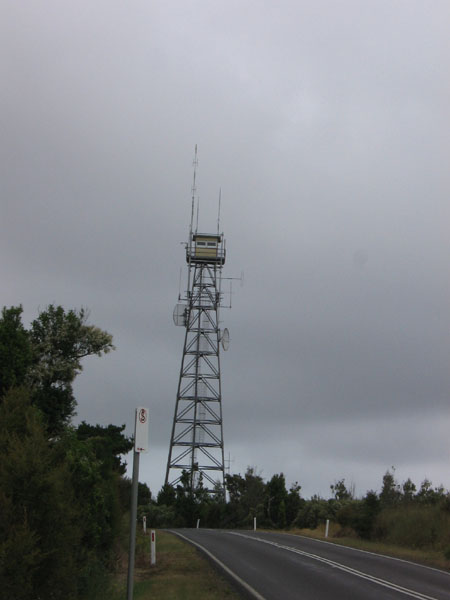
Dec 2009, supplied by Nathan Jolly |
 |
 |
 |
 |