|
| Grid Reference | -41.355082, 146.069582 | Department | Forestry Tasmania | District | Devonport | Region | North West | Grading | ? | Elevation (ASL) | 640m | Height | 16m | Construction | Steel | Cabin size | 5m x 5m | Public access to site | No | In use since | 1955? - 20?? |
 |
 |
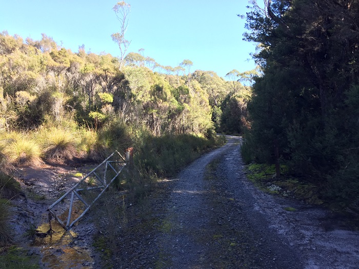 |
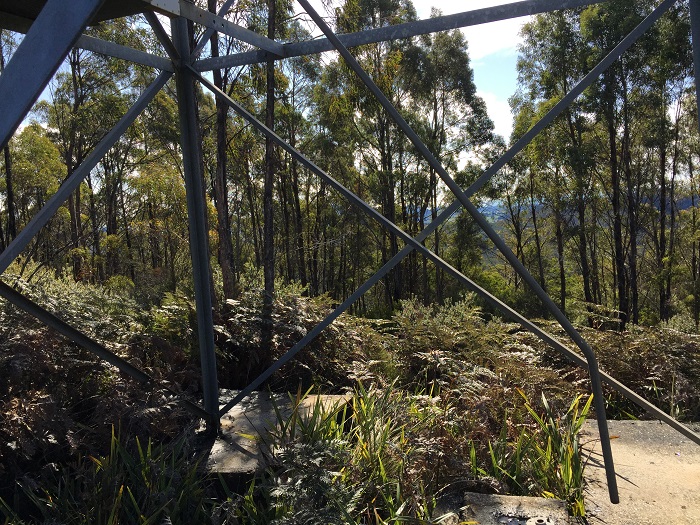
Photos (Aug 2020) taken and supplied by Michael Horton Second photo shows the bottom ladder removed. Third photo shows vandalised gate on access track. |
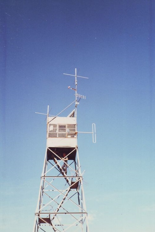 |
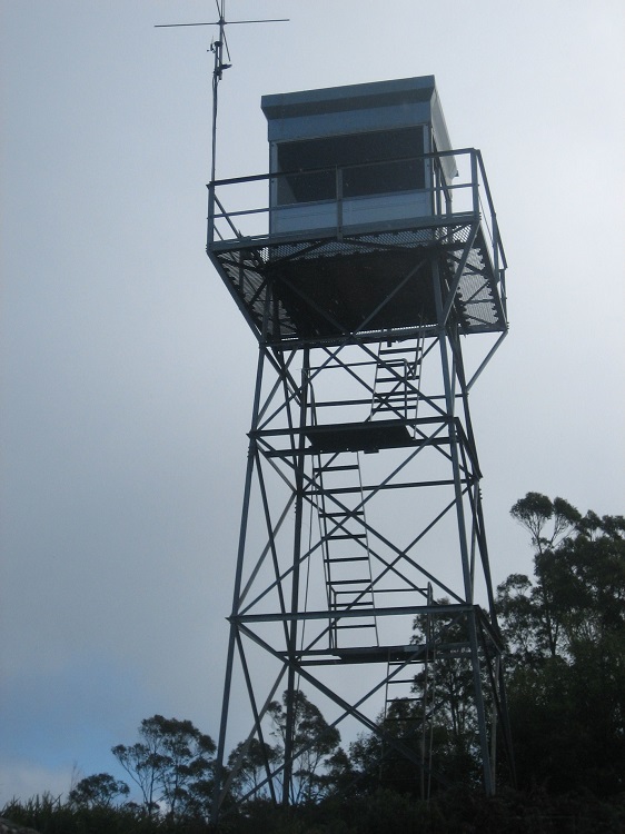
Eric v/d Neut supplied this photo in Dec 2021, believed to be taken in the late 1970s. There is no cat-walk and the windows are different, so at some time, the tower must have had a cabin replacement/upgrade. If you can add any more information, please do not hesitate to contact us. |
 |
 |
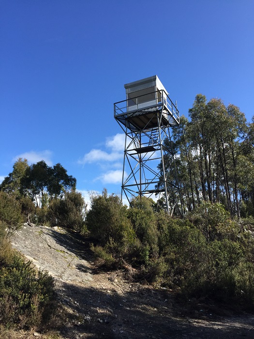
Earlier reports (Dec 2021) told us that the tower had been removed but on the 23rd February 2023 we received these 2 photos. They were taken and supplied by 'Flick' on that day. Here is a link to some YouTube vision of that day. |