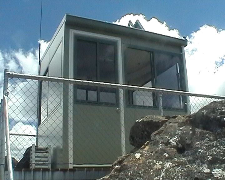
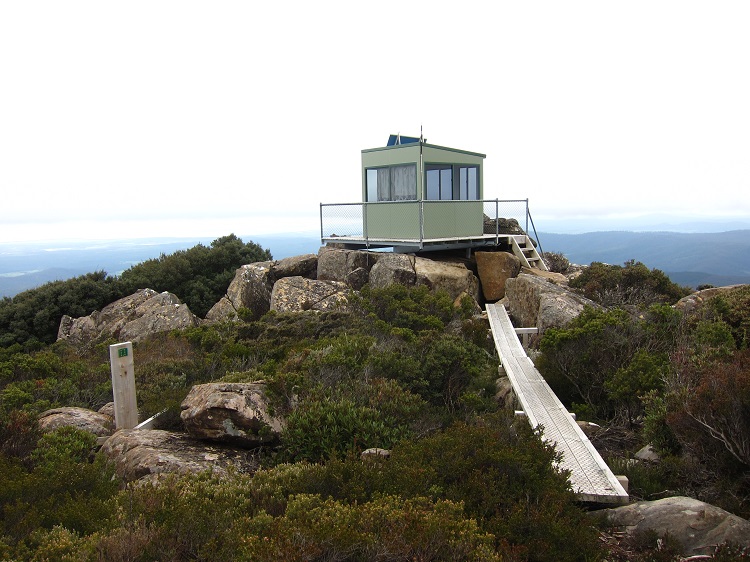
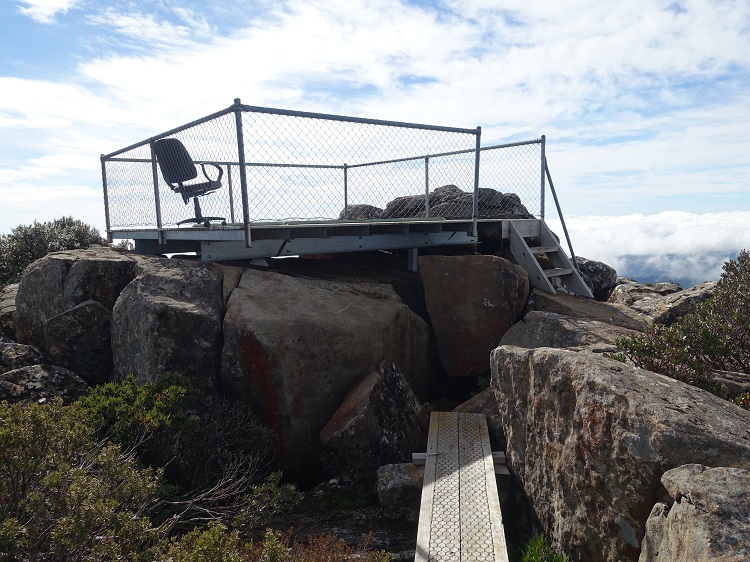
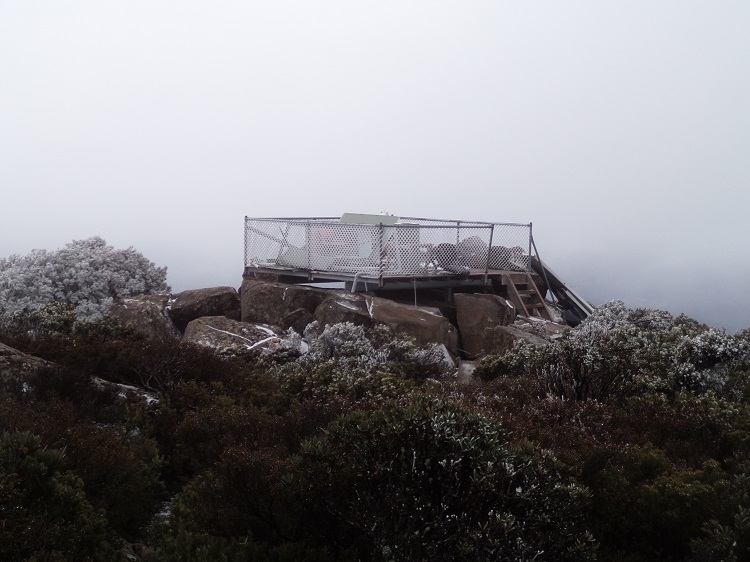
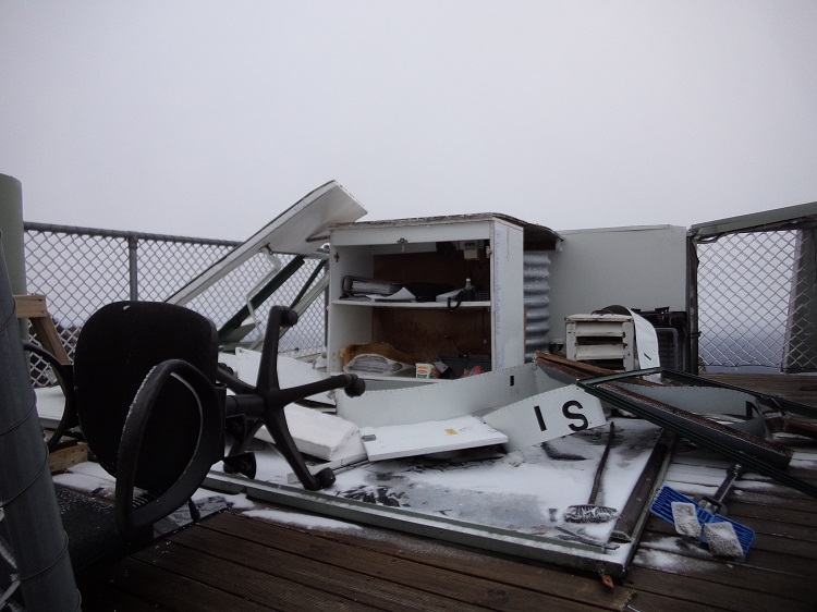
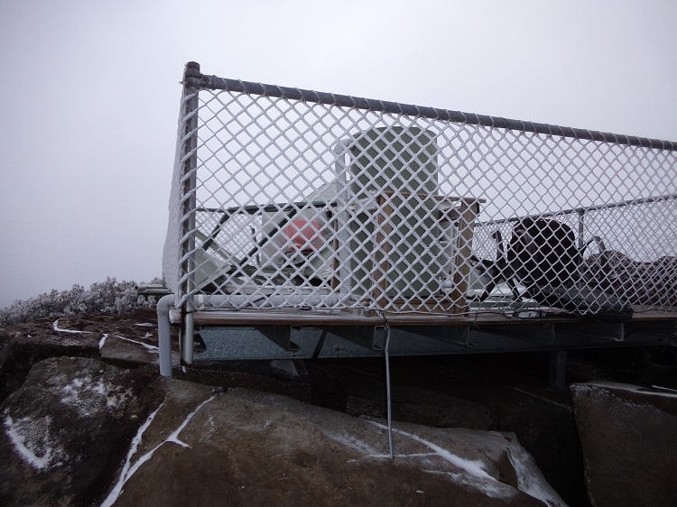
-41.274747, 147.289773 - cabin pictured
2009? - 201? (cabin pictured)
|
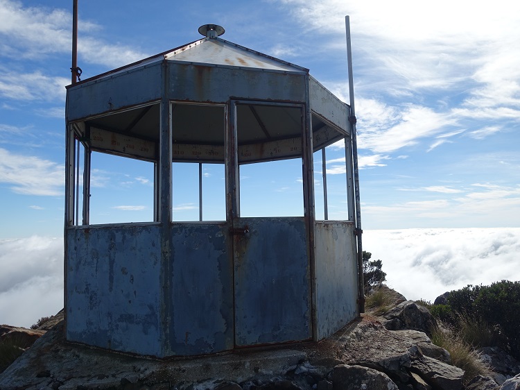
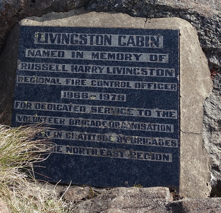
| Grid Reference | -41.274088, 147.284044 - Livingston cabin -41.274747, 147.289773 - cabin pictured |
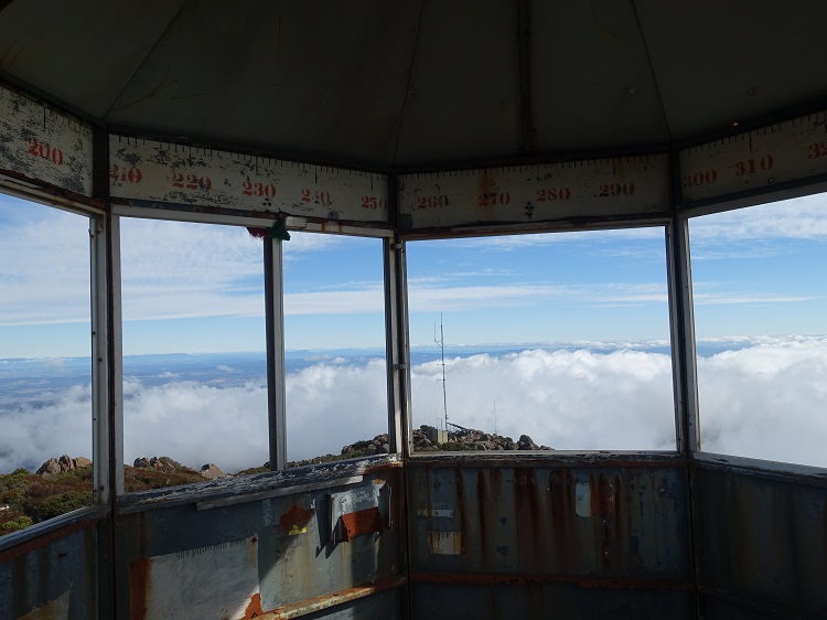
Department | Forestry Tasmania | District | Scottsdale | Region | North East | Grading | ? | Elevation (ASL) | 1160m | Height | On Ground | Construction | Steel | Cabin size | 3m x 3m | Public access to site | Yes | In use since | 19?? - 20?? (Livingston cabin) 2009? - 201? (cabin pictured) |
 |
 |
 |
 |
 |
 |
 |
 |
 |
 |
 |
 |
 |
 |
 |
 |