Current: 9m
Current: ?m x?m
Current: 19?? -
|
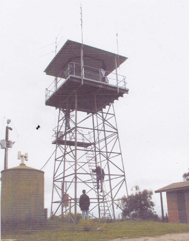
| Grid Reference | -37.032790, 139.811486 (GDA 94) | Department | ForestrySA | Work Centre | ? | District | Noolook Forest | Grading | ? | Elevation (ASL) | 72m | Height | Original: ?m Current: 9m |
Construction | Steel (both) | Cabin size | Original: ?m x?m Current: ?m x?m |
Public access to site | ? | In use since | Original: 1969 - 19?? Current: 19?? - |
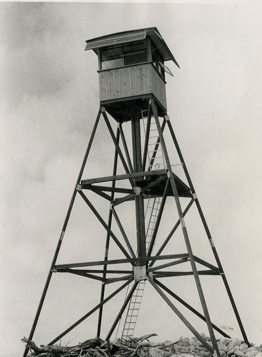 |
This 1969 photo is Copyright ForestrySA and provided by the City of Mount Gambier Library in March 2022 and used with permission. For the City of Mount Gambier Library's website page with the collection of fire tower photos, please click here. On this page, you can click on the individual photo for detailed description. |
 |
 |
 |
In February 2026, we received these 3 photos from OneFortyOne with a note: "Mt Benson tower had a facelift in 2023". Phots were taken in January 2024. |