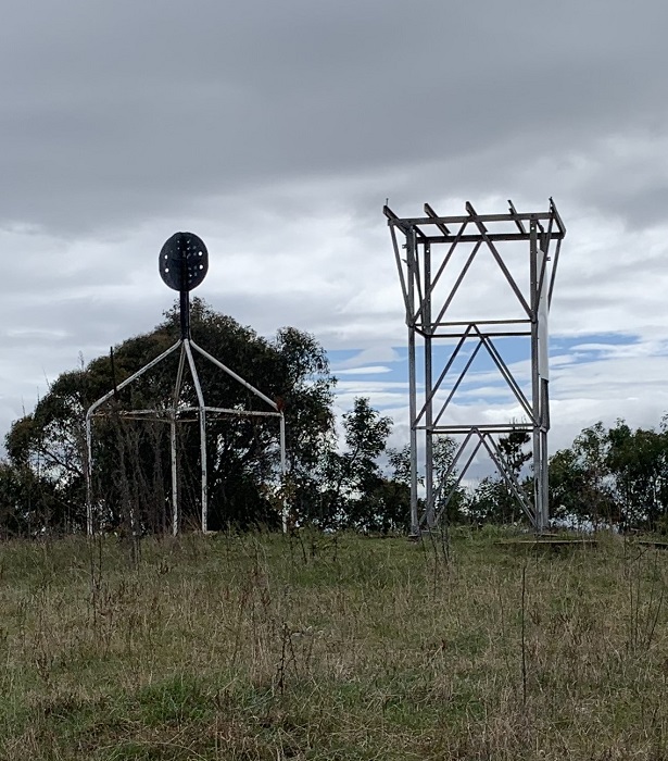
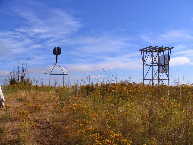
MT. McDONALD


Grid Reference -35.306958, 148.941912 (GDA)
Department ?
District ?
Region ?
Grading ?
Elevation (ASL) 785m
Height ?
Construction Steel
Cabin size ?
Public access to site Yes
In use since 1955/65? - 19??
The Sept 2022 photo and information was supplied by John Evans in November 2022. The remains of the tower is on the right and a trig point on the left.

Here is a link to John's Blog page about his walk to Mt. McDonald in June 2019.

In the document "A History of ACT Fire Towers" it states: Between 1955 and 1965 a fire tower was established on Mt. McDonald.

Please click on thumbnails for enlargements
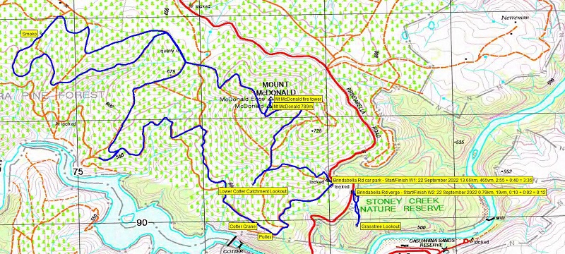
2005 photo and the 2022 Location map
were supplied by John Evans in November 2022

Back to ACT Towers
Back to Home Page