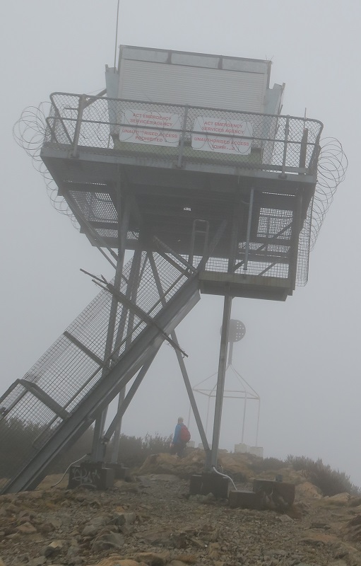
MT. COREE


Grid Reference -35.307320, 148.810195 (GDA)
Department ?
District ?
Region ?
Grading ?
Elevation (ASL) 1400m
Height ?
Construction Steel
Cabin size ?
Public access to site Yes
In use since 19??
Source of photo (2008) unknown.

This tower is west of the city, in the Uriarra area.

The ACT RFS had an article about the tower on their blogspot in January 2013. Here is a link to the article.

Please click on thumbnails for enlargements
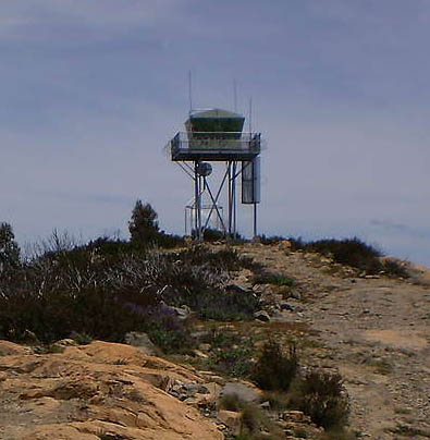
2017 photo (cropped) and the Location map
were supplied by John Evans in November 2022

There was a serious incident at the tower in January 2018. Emergency Services Agency Commissioner Dominic Lane told the Sunday Canberra Times: The FLO did not close the hatch after entering the tower and fell through the hole, sustaining minor injuries. The FLO did not fall all the way to the ground and it "wasn't a great drop". "There was bruising to the left arm, the left shoulder, the left leg, the right leg and some minor lacerations to the right hand, the operator made "a rapid recovery".
Mr Lane said the incident prompted the agency to contact WorkSafe and conduct a review of the ACT's fire towers at One Tree Hill in the north, Kowen Forest in the east, Mount Tennent in the south and Mount Coree in the west. While the review found the January incident was not the result of any structural faults, it uncovered other issues.
The Mount Coree tower was not taken offline during upgrades that stemmed from the review. Work on the tower's access and exit points was carried out on September 6 and 7. Additional upgrades were undertaken on October 15 and 16, but the tower remained online throughout.


Back to ACT Towers
Back to Home Page